GIS Data
The GIS data maintained by the Harvard University Planning and Design includes information on buildings and grounds related to Harvard University. Our “standard” base layers are available to Harvard affiliates and their service providers (for example, architects) working on Harvard projects in AutoCAD DWG, ESRI SHP or File Geodatabase format. Additional datasets are sometimes available by special arrangement. For information about our data sets please contact Ellie Masoomkhah, GIS Manager.
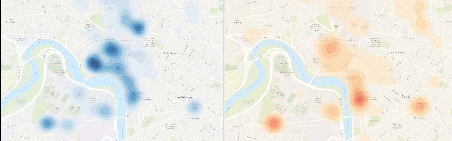
Data Analytics
GIS team provides location intelligence, data analytics, and spatial statistics and offers additional insights into the “where” and “in what context” of spatial data across different departments.
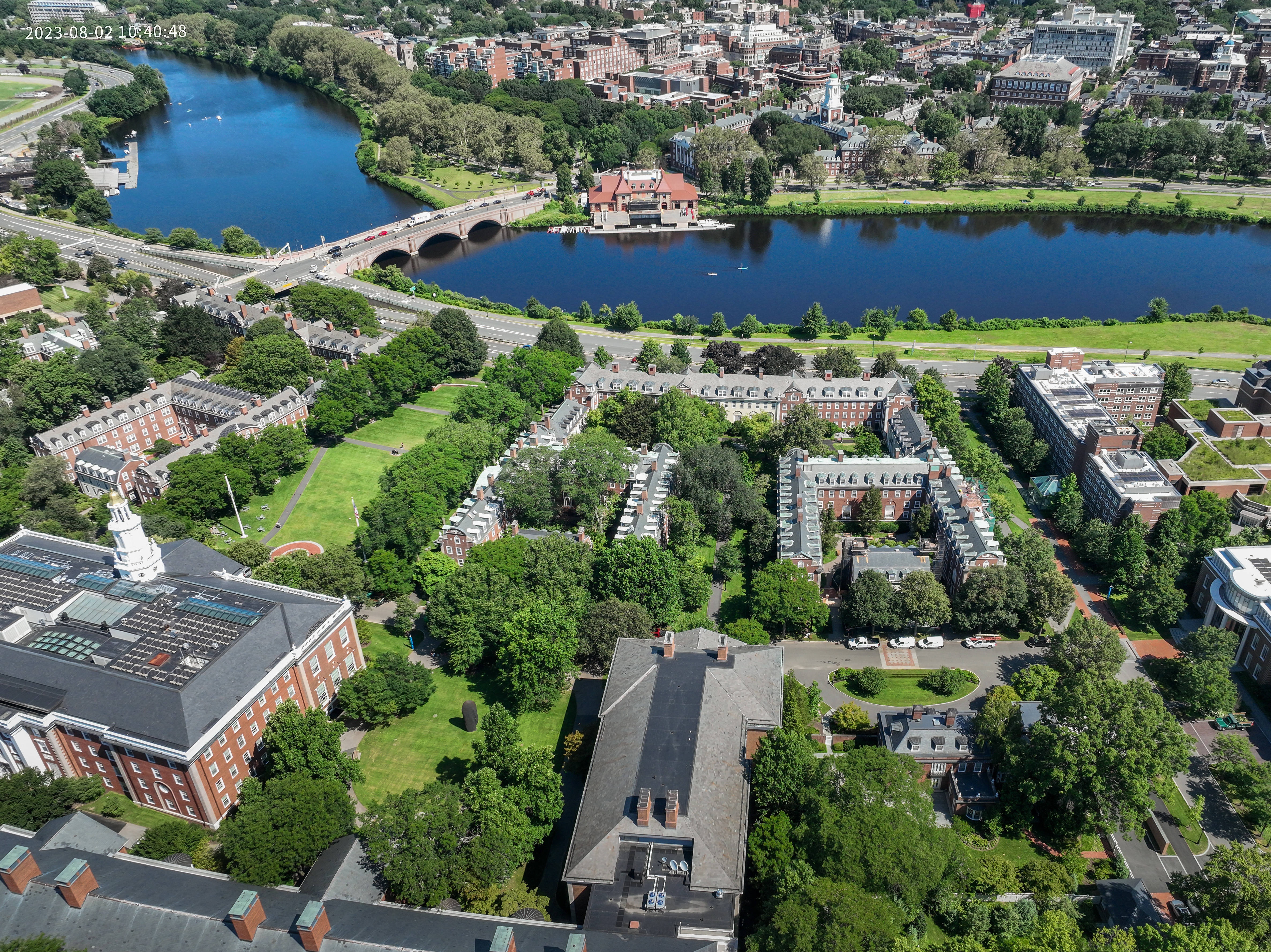
Aerial Photography
Current, recent and historic aerial images are available.
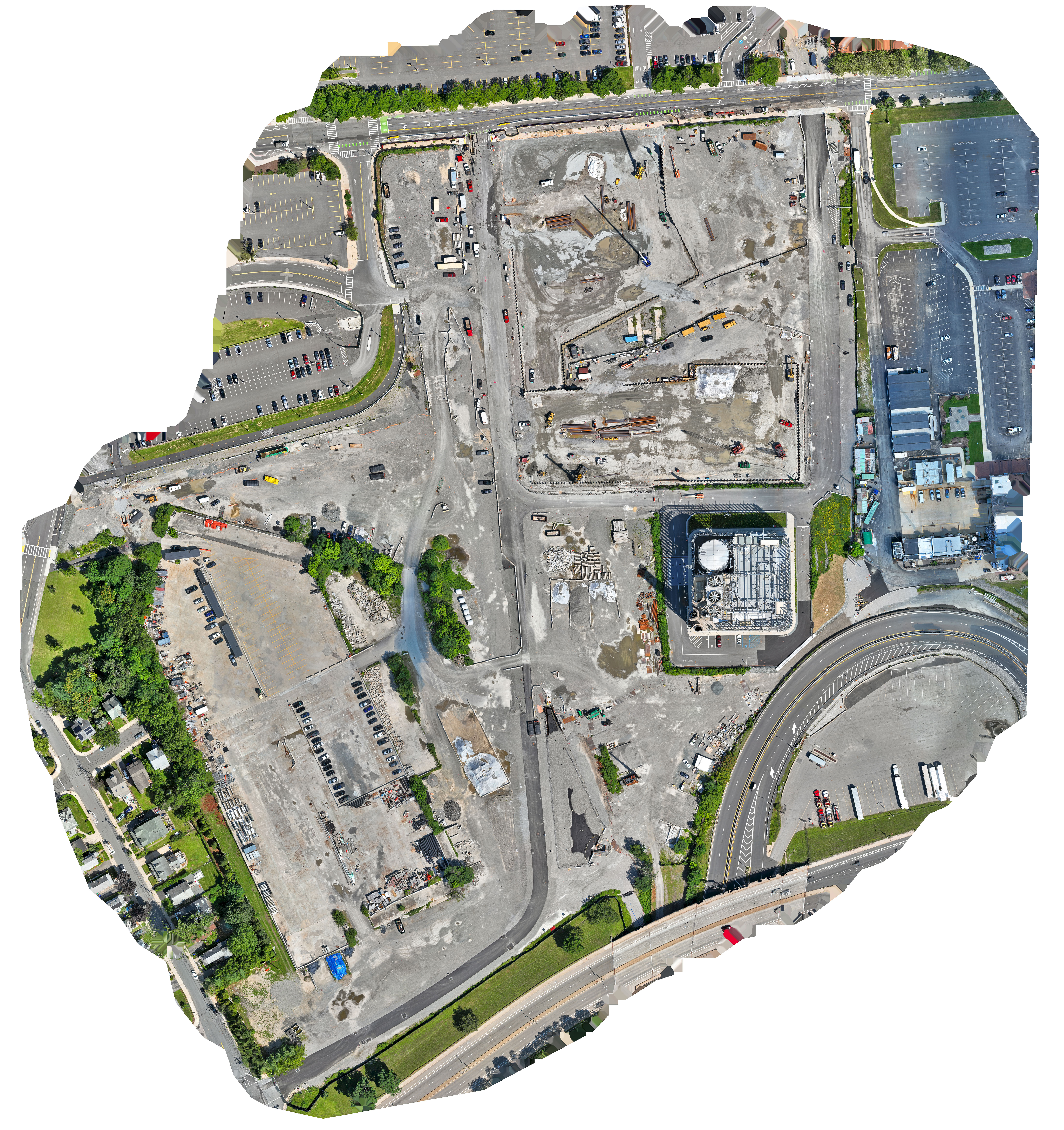
Drone Services
Harvard University Planning and Design (HUPAD) has started a drone services pilot project. We are looking to understand who has a need for drone services to support planning, facility projects, and communications. The drone has been producing fantastic products including aerial images, close-ups of buildings, videos, and 3D models. If you have a project that would benefit from drone services, please reach out to Mike Guarino (michael_guarino@harvard.edu) for more information.
For more information about our geographic information services please contact the GIS Team at hupad_gis@harvard.edu.